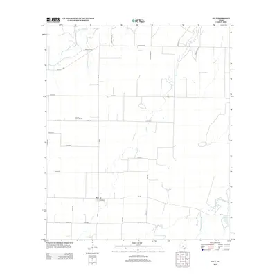
2012 Map of Eola
USGS Topo · Published 2012About this map
The agricultural landscape of Eola in Concho County is defined by a dense grid of farm-to-market and county roads that navigate the West Texas plains. Centered around the intersection of FM-381 and FM-765, the settlement of Eola serves as a local hub for the surrounding ranching and farming operations. The cultural history of the area is anchored by landmarks such as the Dry Hollow School and the Lakeview Community Cem, representing the educational and civic foundations of this rural community. To the north, the Mereta Oil Field indicates the region's industrial connection to petroleum extraction, while the intermittent path of Kickapoo Cr and the waters of Witt-Ellis Lake provide vital resources in an otherwise semi-arid environment. The road network, featuring names like Kotrla Rd and Gesch Rd, reflects the deep-rooted family ties and land ownership patterns that have shaped this portion of the Edwards Plateau.
Find a feature on this map
31 named features on this map. Tap any name to fly to it.
Don’t see what you’re looking for? This feature index may not catch every label — zoom into the map to look around manually.
Map Details
Editions of this 2012 Eola Map
This is the sole edition of this map. No revisions or reprints were ever made.
Other maps of this area
1891 · Hayrick
USGS Topo · 1:125,000
1892 · San Angelo
USGS Topo · 1:125,000
1892 · Eden
USGS Topo · 1:125,000
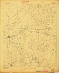
1892 · Ballinger
USGS Topo · 1:125,000
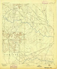
1894 · Hayrick
USGS Topo · 1:125,000
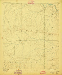
1896 · Eden
USGS Topo · 1:125,000
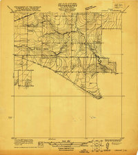
1921 · Lowake
USGS Topo · 1:31,680
1932 · Paint Rock
USGS Topo · 1:62,500

1954 · Brownwood
USGS Topo · 1:250,000
1954 · San Angelo
USGS Topo · 1:250,000