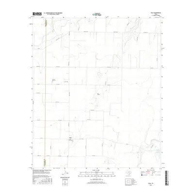
2016 Map of Eola
USGS Topo · Published 2016About this map
Eola sits at the intersection of FM 765 and Ranch Rd 381 in this 2016 survey of western Concho County. The map documents a landscape defined by expansive ranching operations and a sparse grid of country roads, where water remains a critical and elusive resource. Features like Dry Hollow and the seasonal path of Kickapoo Creek highlight the arid character of the Edwards Plateau transition zone. To the north, the Lakeview Community is centered around its namesake Lakeview Community Cem, providing a focal point for genealogical research in this rural pocket of Texas. Along the eastern edge, the presence of W H Ellis Lake marks one of the few permanent impoundments in a region otherwise dominated by broad drainage basins and ranching infrastructure. The boundary between Tom Green Co and Concho Co is clearly delineated, showing how these administrative lines intersect the existing farm-to-market road system.
Find a feature on this map
36 named features on this map. Tap any name to fly to it.
Don’t see what you’re looking for? This feature index may not catch every label — zoom into the map to look around manually.
Map Details
Editions of this 2016 Eola Map
This is the sole edition of this map. No revisions or reprints were ever made.
Other maps of this area
1891 · Hayrick
USGS Topo · 1:125,000
1892 · San Angelo
USGS Topo · 1:125,000
1892 · Eden
USGS Topo · 1:125,000
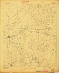
1892 · Ballinger
USGS Topo · 1:125,000
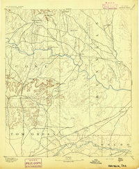
1894 · Hayrick
USGS Topo · 1:125,000
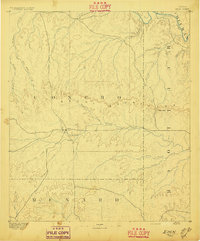
1896 · Eden
USGS Topo · 1:125,000
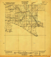
1921 · Lowake
USGS Topo · 1:31,680
1932 · Paint Rock
USGS Topo · 1:62,500

1954 · Brownwood
USGS Topo · 1:250,000
1954 · San Angelo
USGS Topo · 1:250,000