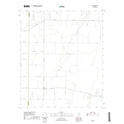
2019 Map of Eola
USGS Topo · Published 2019About this map
Eola sits at the intersection of several key routes in this West Texas landscape, where the agricultural grid meets the natural drainage of Dry Hollow. The map captures the rural character of the Tom Green and Concho County line, highlighting a territory defined by large land tracts and a network of ranch-to-market roads. Genealogists will find the Lakeview Community Cemetery north of town, a significant landmark for tracing local family histories in this part of the state. The terrain is marked by subtle elevation changes and seasonal water features, including W H Ellis Lake to the southeast, which illustrate the vital role of water management in this semi-arid region. Extensive road labeling, from Ranch Rd 380 to smaller arteries like Five Ash Rd, provides a clear view of how these remote communities remain connected across the vast Texas plains.
Find a feature on this map
33 named features on this map. Tap any name to fly to it.
Don’t see what you’re looking for? This feature index may not catch every label — zoom into the map to look around manually.
Map Details
Editions of this 2019 Eola Map
This is the sole edition of this map. No revisions or reprints were ever made.
Other maps of this area
1891 · Hayrick
USGS Topo · 1:125,000
1892 · San Angelo
USGS Topo · 1:125,000
1892 · Eden
USGS Topo · 1:125,000
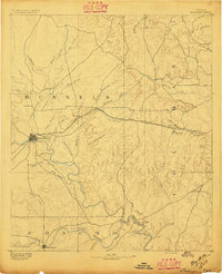
1892 · Ballinger
USGS Topo · 1:125,000
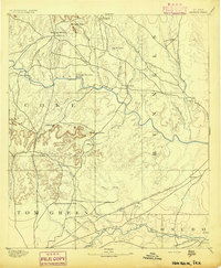
1894 · Hayrick
USGS Topo · 1:125,000
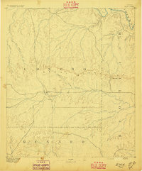
1896 · Eden
USGS Topo · 1:125,000
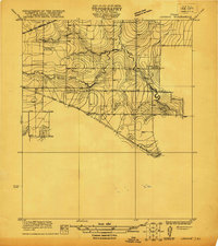
1921 · Lowake
USGS Topo · 1:31,680
1932 · Paint Rock
USGS Topo · 1:62,500

1954 · Brownwood
USGS Topo · 1:250,000
1954 · San Angelo
USGS Topo · 1:250,000