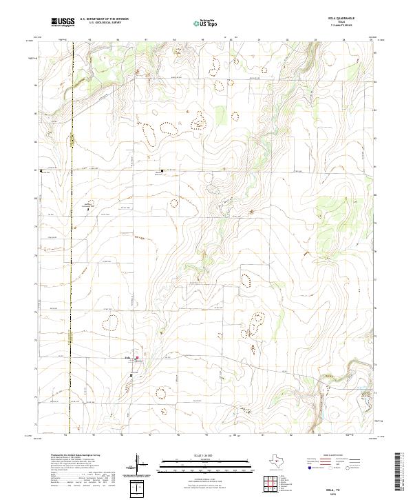
2022 Map of Eola
USGS Topo · Published 2022About this map
Eola sits at the intersection of several farm-to-market and ranch roads in the western corner of Concho County, Texas. This agricultural landscape is characterized by a sparse network of county roads like Co Rd 1640 and Ranch Rd 381, connecting isolated farmsteads and rural burial grounds. The area's genealogical significance is anchored by several distinct sites, including the Eola Cem, Mereta Cem, and the Lakeview Community Cem.
Find a feature on this map
37 named features on this map. Tap any name to fly to it.
Don’t see what you’re looking for? This feature index may not catch every label — zoom into the map to look around manually.
Map Details
Editions of this 2022 Eola Map
This is the sole edition of this map. No revisions or reprints were ever made.
Other maps of this area

1891 · Hayrick
USGS Topo · 1:125,000

1892 · San Angelo
USGS Topo · 1:125,000

1892 · Eden
USGS Topo · 1:125,000

1892 · Ballinger
USGS Topo · 1:125,000

1894 · Hayrick
USGS Topo · 1:125,000

1896 · Eden
USGS Topo · 1:125,000

1921 · Lowake
USGS Topo · 1:31,680

1932 · Paint Rock
USGS Topo · 1:62,500

1954 · Brownwood
USGS Topo · 1:250,000

1954 · San Angelo
USGS Topo · 1:250,000