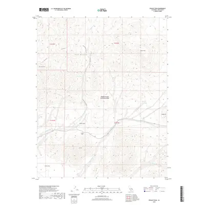
2018 Map of Epaulet Peak
USGS Topo · Published 2018About this map
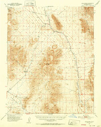
The Black Mountains dominate this high-desert landscape within Death Valley National Park, where the transition from the Mojave Desert floor to the high ridges of Epaulet Peak is marked by a complex system of arid drainage channels. This 2018 survey reveals the harsh environmental character of the region, defined by deep-cut features such as Virgin Springs Canyon and Jubilee Wash. Historical land use is evidenced by the presence of the Desert Hound mine and Desert Hound Peak in the northwestern quadrant, highlighting the area's legacy of prospecting. Important seasonal water sources and landmarks for travelers, such as Virgin Spring and Rhodes Spring, are located along the rugged slopes, while Jubilee Pass provides a critical crossing point between the mountainous heights and the lower plains of Death Valley.
Find a feature on this map
22 named features on this map. Tap any name to fly to it.
Don’t see what you’re looking for? This feature index may not catch every label — zoom into the map to look around manually.
Map Details
Editions of this 2018 Epaulet Peak Map
This is the sole edition of this map. No revisions or reprints were ever made.
Other maps of this area

1908 · Furnace Creek
USGS Topo · 1:250,000

1910 · Furnace Creek
USGS Topo · 1:250,000

1933 · Avawatz Mountains
USGS Topo · 1:250,000
1940 · Eagle Tank
USGS Topo · 1:62,500

1947 · Trona
USGS Topo · 1:250,000

1948 · Trona
USGS Topo · 1:250,000

1948 · Death Valley
USGS Topo · 1:250,000
1950 · Confidence Hills
USGS Topo · 1:62,500
1951 · Funeral Peak
USGS Topo · 1:62,500
1951 · Eagle Mtn
USGS Topo · 1:62,500