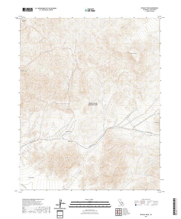
2021 Map of Epaulet Peak
USGS Topo · Published 2021About this map
Epaulet Peak rises as a prominent landmark within the Black Mountains and the northern reaches of the Mojave Desert. This 2021 survey of Death Valley National Park captures a landscape defined by significant elevation changes and seasonal drainage systems, including Rhodes Wash and Jubilee Wash. The network of backroads and trails, such as Badwater Road and the Virgin Springs Canyon Trl, highlights the access points to remote desert springs like Virgin Spring and Rhodes Spring.
Find a feature on this map
24 named features on this map. Tap any name to fly to it.
Don’t see what you’re looking for? This feature index may not catch every label — zoom into the map to look around manually.
Map Details
Editions of this 2021 Epaulet Peak Map
This is the sole edition of this map. No revisions or reprints were ever made.
Other maps of this area

1908 · Furnace Creek
USGS Topo · 1:250,000

1910 · Furnace Creek
USGS Topo · 1:250,000

1933 · Avawatz Mountains
USGS Topo · 1:250,000

1940 · Eagle Tank
USGS Topo · 1:62,500

1947 · Trona
USGS Topo · 1:250,000

1948 · Trona
USGS Topo · 1:250,000

1948 · Death Valley
USGS Topo · 1:250,000

1950 · Confidence Hills
USGS Topo · 1:62,500

1951 · Funeral Peak
USGS Topo · 1:62,500

1951 · Eagle Mtn
USGS Topo · 1:62,500