
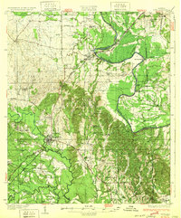
1932 Map of Epes
USGS Topo · Published 1932About this map
Livingston serves as a primary hub in this early 1930s landscape, situated at the junction of the Southern Railway and multiple state highways. The terrain is defined by the winding course of the Tombigbee River and the Sucanoochee River, which dictate the placement of early infrastructure like the Hillman Ferry. The map documents a rural society organized around small schoolhouses and churches, such as Ezell Sch, Wesley Chapel, and the Industrial School. This era precedes the major inland waterway developments, showing the river in its natural, meandering state before significant canalization. The distribution of these landmarks, including Jones Bluff and McAlpin Bend, provides a detailed record of the geography and social structure of Sumter and Greene counties during this period.
Find a feature on this map
51 named features on this map. Tap any name to fly to it.
Don’t see what you’re looking for? This feature index may not catch every label — zoom into the map to look around manually.
Map Details
Editions of this 1932 Epes Map
4 editions found

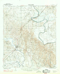
Other maps of this area

1927 · Eutaw
USGS Topo · 1:48,000

1929 · Epes
USGS Topo · 1:48,000

1931 · Eutaw
USGS Topo · 1:62,500

1947 · Forkland
USGS Topo · 1:24,000

1948 · Mc Dowell
USGS Topo · 1:24,000

1949 · Mc Dowell
USGS Topo · 1:24,000

1949 · Forkland
USGS Topo · 1:24,000

1953 · Montgomery
USGS Topo · 1:250,000

1953 · Meridian
USGS Topo · 1:250,000

1956 · Montgomery
USGS Topo · 1:250,000