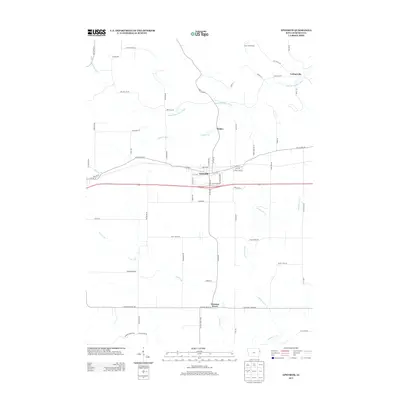
2013 Map of Epworth
USGS Topo · Published 2013About this map
Epworth serves as the central hub of this Dubuque County landscape, where the street grid of the town core meets the diagonal path of Old Highway Rd. The surrounding terrain is defined by a dense network of watercourses, including the Little Maquoketa River in the north and the expansive reach of Whitewater Cr to the south. These drainage patterns influenced early road placement and the location of outlying settlements such as Lattnerville and Kidder.
Find a feature on this map
65 named features on this map. Tap any name to fly to it.
Don’t see what you’re looking for? This feature index may not catch every label — zoom into the map to look around manually.
Map Details
Editions of this 2013 Epworth Map
This is the sole edition of this map. No revisions or reprints were ever made.
Other maps of this area

1900 · Anamosa
USGS Topo · 1:125,000

1900 · Lancaster
USGS Topo · 1:125,000

1901 · Peosta
USGS Topo · 1:125,000

1902 · Elkader
USGS Topo · 1:125,000

1904 · Lancaster
USGS Topo · 1:125,000

1908 · Lancaster
USGS Topo · 1:125,000

1956 · Sherrill
USGS Topo · 1:24,000

1957 · Holy Cross
USGS Topo · 1:24,000

1959 · Dubuque
USGS Topo · 1:250,000

1961 · Dubuque
USGS Topo · 1:250,000