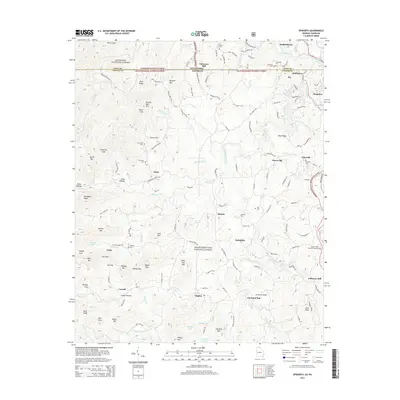
2014 Map of Epworth
USGS Topo · Published 2014About this map
Epworth and the surrounding borderlands between Fannin Co, Georgia, and Polk Co, Tennessee, define this landscape of the Southern Appalachians. The terrain is marked by deep coves and ridges, such as Couch Cove and Turkeypen Ridge, where historic mountain settlements like Lickskillet and Pierceville were established. Industrial and agricultural heritage is evident along the waterways, with Patterson Mill situated near the Ocoee River and Galloway Mill located to the southeast.
Find a feature on this map
147 named features on this map. Tap any name to fly to it.
Don’t see what you’re looking for? This feature index may not catch every label — zoom into the map to look around manually.
Map Details
Editions of this 2014 Epworth Map
This is the sole edition of this map. No revisions or reprints were ever made.
Other maps of this area

1886 · Dalton
USGS Topo · 1:125,000

1886 · Cleveland
USGS Topo · 1:125,000

1888 · Ellijay
USGS Topo · 1:125,000

1892 · Cleveland
USGS Topo · 1:125,000

1892 · Ellijay
USGS Topo · 1:125,000

1892 · Dalton
USGS Topo · 1:125,000

1893 · Murphy
USGS Topo · 1:125,000

1895 · Cleveland
USGS Topo · 1:125,000

1897 · Dalton
USGS Topo · 1:125,000

1898 · Ellijay
USGS Topo · 1:125,000