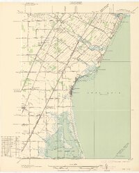
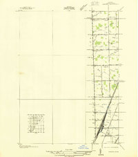
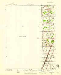
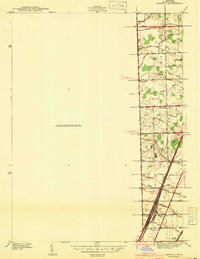
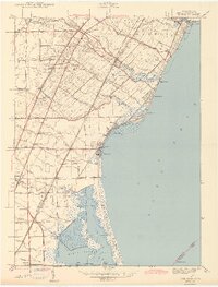
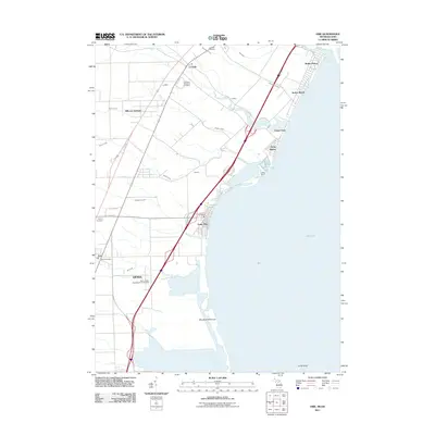
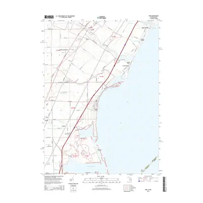
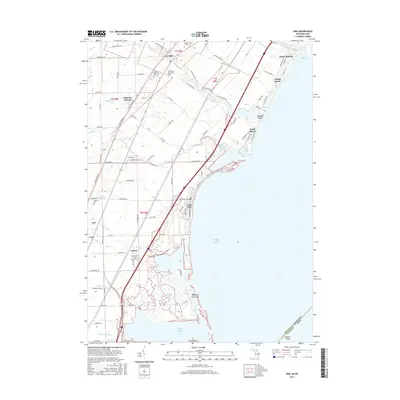
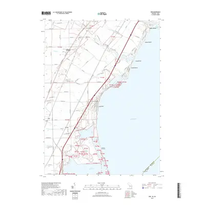
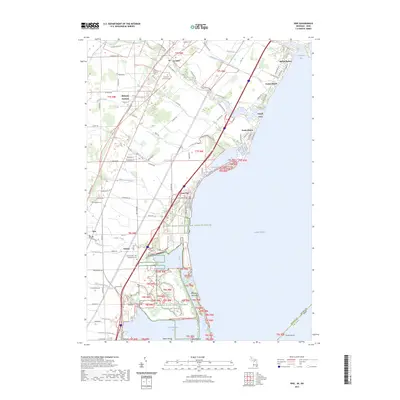
1936 Map of Erie
USGS Topo · Published 1936About this map
The western shoreline of Lake Erie in Monroe County is defined by a series of low-lying marshes and evolving beach communities. During this mid-1930s field examination, settlements like Luna Pier, Lakewood, and Bolles Harbor anchor the coast, while the interior is dominated by a grid of agricultural drainage and early automotive corridors like Telegraph Rd and Dixie Hy. The landscape is heavily structured by rail transit, featuring the Pere Marquette, Michigan Central, and the New York Central lines cutting diagonally toward the Ohio border.
Find a feature on this map
66 named features on this map. Tap any name to fly to it.
Don’t see what you’re looking for? This feature index may not catch every label — zoom into the map to look around manually.
Map Details
Editions of this 1936 Erie Map
This is the sole edition of this map. No revisions or reprints were ever made.
Historical Maps of Monroe Charter Township Through Time
29 maps found
1936 Erie
Monroe County, MI
1936 Samaria
Monroe County, MI
1939 Samaria
Monroe County, MI
1941 Samaria
Monroe County, MI
1943 Erie
Monroe County, MI
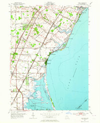
1952 Erie
Monroe County, MI
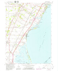
1967 Erie
Monroe County, MI
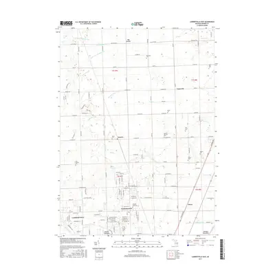
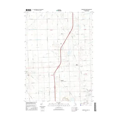
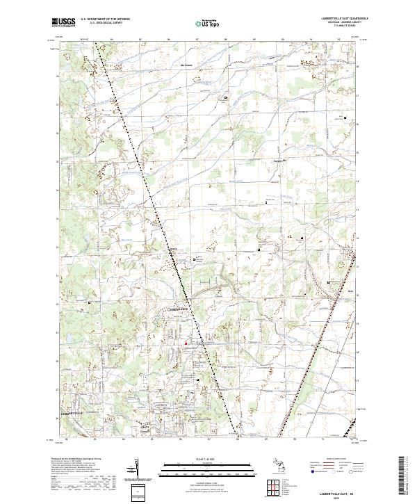
1972 Lambertville East
Monroe County, MI

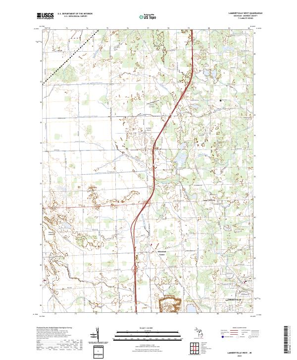
1972 Lambertville West
Monroe County, MI
2011 Erie
Monroe County, MI
2011 Lambertville East
Monroe County, MI
2011 Lambertville West
Monroe County, MI
2011 Stony Point OE S
Monroe County, MI
2014 Erie
Monroe County, MI
2014 Lambertville East
Monroe County, MI
2014 Lambertville West
Monroe County, MI
2014 Stony Point OE S
Monroe County, MI
2017 Erie
Monroe County, MI
2017 Lambertville East
Monroe County, MI
2017 Lambertville West
Monroe County, MI
2017 Stony Point OE S
Monroe County, MI
2019 Erie
Monroe County, MI
2019 Lambertville East
Monroe County, MI
2019 Lambertville West
Monroe County, MI
2019 Stony Point OE S
Monroe County, MI
2023 Erie
Monroe County, MI
2023 Lambertville East
Monroe County, MI
2023 Lambertville West
Monroe County, MI
2023 Stony Point OE S
Monroe County, MI
Featured Locations
- Erie Township, MI
- LaSalle Township, MI
- Monroe Charter Township, MI
- Erie, Erie Township
- LaSalle, LaSalle Township