
1936 Map of Samaria
USGS Topo · Published 1936About this map
Murray D. Van Wagoner and the Michigan State Highway Department collaborated with the Geological Survey in the mid-1930s to document this vital transit corridor between Monroe and Toledo. The landscape is defined by an intensive network of drainage infrastructure, such as Lockwood Drain and Albain Drain, supporting the flat agricultural plains of Ida and Bedford townships. The map highlights the intersection of local community life and heavy industry, where rural institutions like Zion Ch and Stony Ridge Sch sit just miles from the sprawling rail infrastructure of the Ottawa Yard. This survey captures the transition from local farm-to-market routes like Yargerville Road to major regional arteries, including the State Highway and Dixie Hy US Hy No 25, during an era of significant road modernization and expanded rail traffic for the Pere Marquette RR and NYC & TSL.
Find a feature on this map
61 named features on this map. Tap any name to fly to it.
Don’t see what you’re looking for? This feature index may not catch every label — zoom into the map to look around manually.
Map Details
Editions of this 1936 Samaria Map
This is the sole edition of this map. No revisions or reprints were ever made.
Other maps of this area

1900 · Maumee Bay
USGS Topo · 1:62,500

1900 · Toledo
USGS Topo · 1:62,500

1912 · Monroe
USGS Topo · 1:62,500

1912 · Dundee
USGS Topo · 1:62,500

1914 · Monroe
USGS Topo · 1:62,500

1926 · Dundee
USGS Topo · 1:62,500

1927 · Monroe
USGS Topo · 1:31,680

1934 · Point Place
USGS Topo · 1:24,000
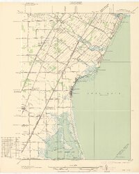
1936 · Erie
USGS Topo · 1:31,680
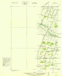
1936 · Ida
USGS Topo · 1:31,680
Featured Places
- Bedford Township, MI
- Temperance, Bedford Township
- LaSalle Township, MI
- Ida Township, MI
- Erie Township, MI