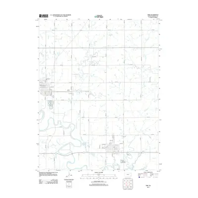
2012 Map of Erie
USGS Topo · Published 2012About this map
The Neosho River meanders through this portion of Neosho County, defining a landscape of riparian bends and fertile bottomlands. In the early 21st century, the area surrounding Erie remains structured by a precise grid of rural routes like 150th Rd and Pryor Rd, which connect the town center to outlying points such as the small community of Trent. The spatial relationship between the town and its local history is evident in the cluster of burial sites, including New E Hill Cem and E Hill Cem, while the Neosho County Fairgrounds serves as a prominent landmark on the western edge of the settlement. To the south, the Saint Paul Wastewater Treatment Facility and Saint Francis Cem sit near the winding banks of Flat Rock Cr. This survey captures the enduring agricultural character of the region, where numerous small waterways like Fourmile Cr and Ogeese Cr weave through the SECTION-line road network.
Find a feature on this map
59 named features on this map. Tap any name to fly to it.
Don’t see what you’re looking for? This feature index may not catch every label — zoom into the map to look around manually.
Map Details
Editions of this 2012 Erie Map
This is the sole edition of this map. No revisions or reprints were ever made.
Other maps of this area

1886 · Iola
USGS Topo · 1:125,000

1886 · Parsons
USGS Topo · 1:125,000

1893 · Iola
USGS Topo · 1:125,000

1893 · Parsons
USGS Topo · 1:125,000

1904 · Iola
USGS Topo · 1:125,000

1943 · McCune
USGS Topo · 1:62,500

1945 · Mc Cune
USGS Topo · 1:62,500

1945 · Parsons
USGS Topo · 1:62,500

1946 · Parsons
USGS Topo · 1:62,500

1947 · Parsons
USGS Topo · 1:62,500