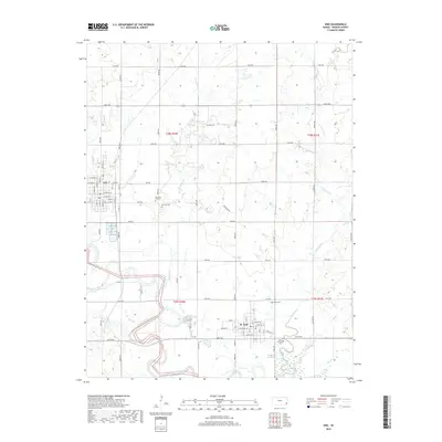
2018 Map of Erie
USGS Topo · Published 2018About this map
The Neosho River meanders across the southwest corner of this Neosho County landscape, framing the city of Erie and the nearby town of St. Paul. The region is defined by a grid of rural routes and the presence of several burial grounds, including East Hill Cem, New East Hill Cem, Saint Francis Cem, and Hope Cem, which serve as significant landmarks for genealogical research. Numerous waterways such as Fourmile Cr, Flat Rock Cr, and Walnut Cr drain the surrounding fields, suggesting a landscape long dominated by agriculture. A specific mention of Oil Field Rd in the northern sections hints at the energy industry's footprint within this rural Kansas interior. The map detail extends to the street level in the settled areas, showing thoroughfares like W State St and N Lincoln St in Erie, providing a clear view of the town's structural layout.
Find a feature on this map
67 named features on this map. Tap any name to fly to it.
Don’t see what you’re looking for? This feature index may not catch every label — zoom into the map to look around manually.
Map Details
Editions of this 2018 Erie Map
This is the sole edition of this map. No revisions or reprints were ever made.
Other maps of this area
1886 · Iola
USGS Topo · 1:125,000
1886 · Parsons
USGS Topo · 1:125,000
1893 · Iola
USGS Topo · 1:125,000
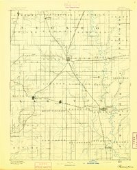
1893 · Parsons
USGS Topo · 1:125,000
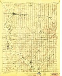
1904 · Iola
USGS Topo · 1:125,000
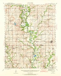
1943 · McCune
USGS Topo · 1:62,500
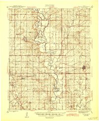
1945 · Mc Cune
USGS Topo · 1:62,500
1945 · Parsons
USGS Topo · 1:62,500
1946 · Parsons
USGS Topo · 1:62,500
1947 · Parsons
USGS Topo · 1:62,500