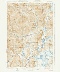
1934 Map of Errol
USGS Topo · Published 1934About this map
Errol Dam controls the flow at the junction of the Androscoggin River and Magalloway River in this 1934 survey of the North Country wilderness. The landscape is defined by vast timber grants and administrative tracks like the Dartmouth College Grant and Wentworths Location, reflecting an era when large-scale land management and logging were the primary human imprints on the terrain. Small outposts of civilization appear at Errol and Wilsons Mills, while the Magalloway Sch and College Farm mark the limited educational and agricultural efforts in this heavily forested border region between New Hampshire and Maine. The map details an intricate network of waterways including the Swift Diamond River and the expansive Aziscoos Lake, alongside named remote spots like Hell Gate and the Fire Tower on Signal Mtn.
Find a feature on this map
93 named features on this map. Tap any name to fly to it.
Don’t see what you’re looking for? This feature index may not catch every label — zoom into the map to look around manually.
Map Details
Editions of this 1934 Errol Map
5 editions found

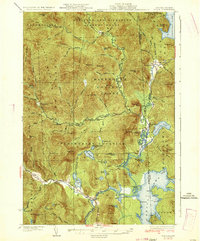
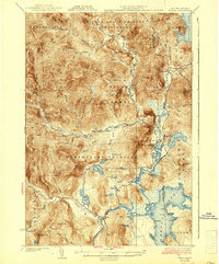
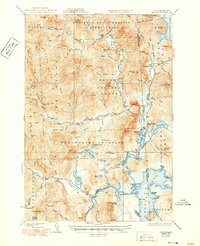
Other maps of this area

1925 · Indian Stream
USGS Topo · 1:48,000

1926 · Indian Stream
USGS Topo · 1:62,500

1927 · Indian Stream
USGS Topo · 1:62,500

1927 · Second Lake
USGS Topo · 1:62,500

1930 · Milan
USGS Topo · 1:62,500

1930 · Percy
USGS Topo · 1:62,500

1930 · Dixville
USGS Topo · 1:62,500

1930 · Errol
USGS Topo · 1:62,500

1931 · Cupsuptic
USGS Topo · 1:48,000

1932 · Second Lake
USGS Topo · 1:62,500