
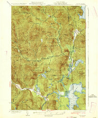
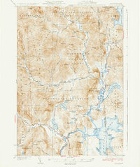
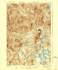
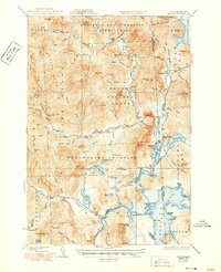
1934 Map of Errol
USGS Topo · Published 1934About this map
Aziscoos Lake and the Magalloway River dominate this 1930s borderland topography, illustrating a landscape defined by timber holdings and academic land grants. The map captures the specialized land use of the northern woods, specifically the vast Dartmouth College Grant and the Atkinson and Gilmanton Academy Grant, which were significant sources of institutional revenue. Small settlements like Errol and Wilsons Mills serve as the primary hubs for the region's river-driven economy, anchored by the Errol Dam.
Find a feature on this map
71 named features on this map. Tap any name to fly to it.
Don’t see what you’re looking for? This feature index may not catch every label — zoom into the map to look around manually.
Map Details
Editions of this 1934 Errol Map
5 editions found
Other maps of this area

1925 · Indian Stream
USGS Topo · 1:48,000

1926 · Indian Stream
USGS Topo · 1:62,500

1927 · Indian Stream
USGS Topo · 1:62,500

1927 · Second Lake
USGS Topo · 1:62,500

1930 · Milan
USGS Topo · 1:62,500

1930 · Percy
USGS Topo · 1:62,500

1930 · Dixville
USGS Topo · 1:62,500

1930 · Errol
USGS Topo · 1:62,500

1931 · Cupsuptic
USGS Topo · 1:48,000

1932 · Second Lake
USGS Topo · 1:62,500