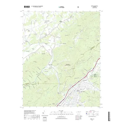
2019 Map of Erwin
USGS Topo · Published 2019About this map
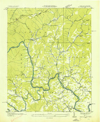
The Nolichucky River carves a deep path through this landscape, dividing the community of Embreeville and the steep slopes of the Cherokee National Forest. This modern survey reveals the intricate topography of the Unicoi County highlands, where narrow valleys like Bumpus Cove and Hulan Hollow have dictated settlement patterns for generations. Historically significant sites such as the Old Dutch Meeting House Cem and Old Embreeville Cem are clearly marked, providing essential locations for genealogical research in these mountain communities.
Find a feature on this map
184 named features on this map. Tap any name to fly to it.
Don’t see what you’re looking for? This feature index may not catch every label — zoom into the map to look around manually.
Map Details
Editions of this 2019 Erwin Map
This is the sole edition of this map. No revisions or reprints were ever made.
Other maps of this area

1891 · Roan Mountain
USGS Topo · 1:125,000

1892 · Greeneville
USGS Topo · 1:125,000

1894 · Roan Mountain
USGS Topo · 1:125,000

1896 · Greeneville
USGS Topo · 1:125,000

1904 · Roan Mountain
USGS Topo · 1:125,000

1904 · Greeneville
USGS Topo · 1:125,000
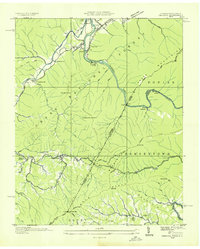
1935 · Chestoa
USGS Topo · 1:24,000
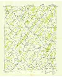
1935 · Leesburg
USGS Topo · 1:24,000
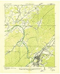
1935 · Erwin
USGS Topo · 1:24,000
1935 · Huntdale
USGS Topo · 1:24,000