
1957 Map of Escanaba
USGS Topo · Published 1957About this map
The Menominee Range and the industrial hubs of Iron Mountain and Kingsford anchor the western reaches of this mid-century survey. Heavy transport infrastructure is evident through the Chicago & North Western RR corridor, which served the region's mining and timber interests. The geography is defined by the massive aquatic divide of Green Bay, separating the Upper Peninsula of Michigan from the Door Peninsula of Wisconsin.
Find a feature on this map
222 named features on this map. Tap any name to fly to it.
Don’t see what you’re looking for? This feature index may not catch every label — zoom into the map to look around manually.
Map Details
Editions of this 1957 Escanaba Map
This is the sole edition of this map. No revisions or reprints were ever made.
Other maps of this area
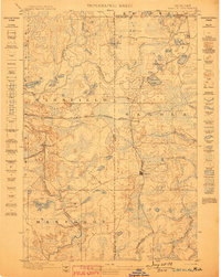
1899 · Sagola
USGS Topo · 1:62,500
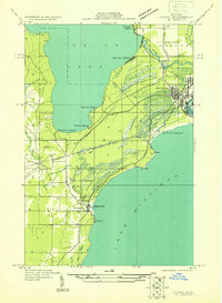
1931 · Cooks NE
USGS Topo · 1:31,680
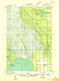
1931 · Steuben SE
USGS Topo · 1:31,680
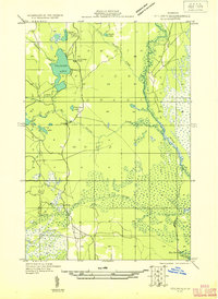
1931 · Steuben SW
USGS Topo · 1:31,680
1931 · Cooks NW
USGS Topo · 1:31,680
1931 · Seul Choix Point NW
USGS Topo · 1:31,680
1931 · Manistique River SE
USGS Topo · 1:31,680
1931 · Blaney SW
USGS Topo · 1:31,680
1931 · Manistique River SW
USGS Topo · 1:31,680
1932 · Burnt Bluff SW
USGS Topo · 1:31,680