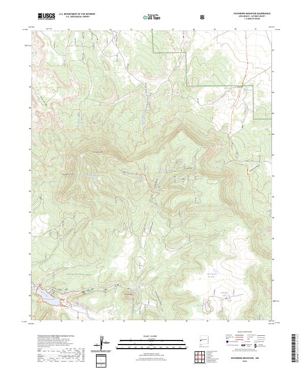
2023 Map of Escondido Mountain
USGS Topo · Published 2023About this map
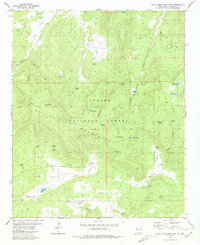
Apache National Forest lands dominate this high-altitude landscape in Catron County, characterized by a complex system of deep canyons and prominent volcanic peaks. The topography is anchored by Escondido Mtn and El Caso Peak, with dramatic elevation changes visible through Paradise Canyon and Poison Canyon. Water sources are vital features in this arid environment, ranging from the recreational Quemado Lake on Largo Creek to isolated high-country points like Pine Lake and Gabaldon Lake.
Find a feature on this map
36 named features on this map. Tap any name to fly to it.
Don’t see what you’re looking for? This feature index may not catch every label — zoom into the map to look around manually.
Map Details
Editions of this 2023 Escondido Mountain Map
This is the sole edition of this map. No revisions or reprints were ever made.
Other maps of this area

1954 · Saint Johns
USGS Topo · 1:250,000

1957 · Saint Johns
USGS Topo · 1:250,000

1958 · Saint Johns
USGS Topo · 1:250,000

1962 · Saint Johns
USGS Topo · 1:250,000

1967 · Omega
USGS Topo · 1:24,000

1967 · Quemado
USGS Topo · 1:24,000
1972 · Armstrong Canyon
USGS Topo · 1:24,000
1981 · Mangas Mountain
USGS Topo · 1:24,000
1981 · Largo Mesa
USGS Topo · 1:24,000
1981 · Gallo Mountains East
USGS Topo · 1:24,000