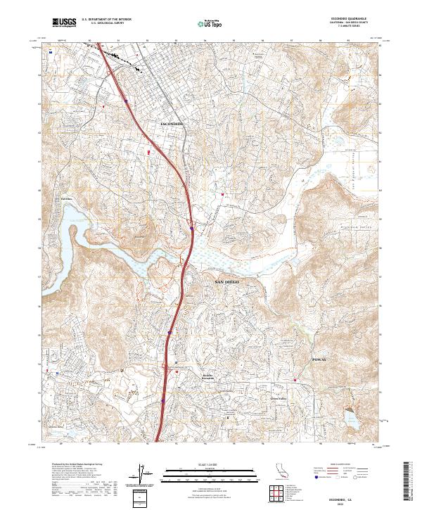
2022 Map of Escondido
USGS Topo · Published 2022About this map
Lake Hodges and the San Dieguito River valley serve as the central landscape features of this 2022 survey, illustrating the modern intersection of urban development and protected open space. The suburban growth of Rancho Bernardo and the southern edge of Escondido are mapped in detail, showing a dense network of roads like W Felicita Ave and Bernardo Center Dr that weave through the hills. Significant recreational and cultural sites are documented, including the Westminster Seminary California and the Susan S Cashmore Memorial Columbarium. For researchers of modern topography, the map tracks numerous hiking routes such as the Mule Hill Trl and the Coast To Crest Trl, which navigate the terrain around Bernardo Mtn and the fertile San Pasqual Valley.
Find a feature on this map
51 named features on this map. Tap any name to fly to it.
Don’t see what you’re looking for? This feature index may not catch every label — zoom into the map to look around manually.
Map Details
Editions of this 2022 Escondido Map
This is the sole edition of this map. No revisions or reprints were ever made.
Other maps of this area

1893 · El Cajon
USGS Topo · 1:62,500

1893 · Escondido
USGS Topo · 1:62,500

1901 · Elcajon
USGS Topo · 1:62,500

1901 · Escondido
USGS Topo · 1:62,500

1901 · San Luis Rey
USGS Topo · 1:125,000

1903 · Cuyamaca
USGS Topo · 1:125,000

1903 · La Jolla
USGS Topo · 1:62,500

1903 · Elcajon
USGS Topo · 1:62,500

1903 · Ramona
USGS Topo · 1:125,000

1904 · Southern California Sheet No. 2
USGS Topo · 1:250,000