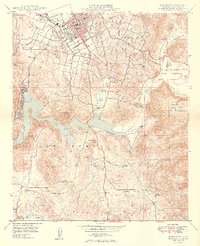
1949 Map of Escondido
USGS Topo · Published 1949About this map
Escondido serves as the focal point of this late 1940s survey, illustrating a transition from agricultural roots to mid-century growth. The city limits surround a grid of streets including San Diego Avenue and Felicita Drive, with education centered at Union High Sch and the Union Elementary Schools. Local industry and infrastructure are represented by the Bernardo Winery, a Sewage Disposal plant, and the path of the San Diego Aqueduct cutting through the terrain.
Find a feature on this map
30 named features on this map. Tap any name to fly to it.
Don’t see what you’re looking for? This feature index may not catch every label — zoom into the map to look around manually.
Map Details
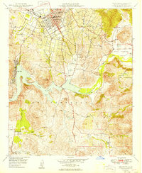
Editions of this 1949 Escondido Map
2 editions found
Other maps of this area

1893 · El Cajon
USGS Topo · 1:62,500

1893 · Escondido
USGS Topo · 1:62,500

1901 · Elcajon
USGS Topo · 1:62,500

1901 · Escondido
USGS Topo · 1:62,500

1901 · San Luis Rey
USGS Topo · 1:125,000

1903 · Cuyamaca
USGS Topo · 1:125,000

1903 · La Jolla
USGS Topo · 1:62,500

1903 · Elcajon
USGS Topo · 1:62,500

1903 · Ramona
USGS Topo · 1:125,000

1904 · Southern California Sheet No. 2
USGS Topo · 1:250,000