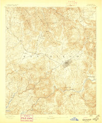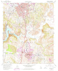
1949 Map of Escondido
USGS Topo · Published 1949About this map
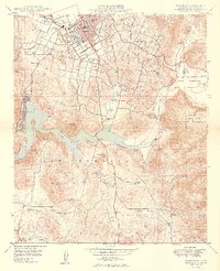
Escondido serves as the focal point of this 1940s landscape, where urban streets like Brand Avenue and Ninth Avenue give way to the rugged hills of Rincon Del Diablo. The city's early infrastructure is visible through landmarks like the Airport, the Sewage Disposal plant, and Union High Sch. To the south, the waters of Lake Hodges dominate the terrain, bounded by the steep slopes of Bernardo Mtn and Battle Mtn. This area reflects a mid-century agricultural and transit corridor, where the A T & S F railroad line snakes through the valley near Escondido Creek. The map documents a transition from the structured town grid to the sprawling estates and agricultural outposts of the backcountry, including the Bernardo Winery and several family-named ranchos such as Cloverdale Ranch and Rancho Del Sueno.
Find a feature on this map
32 named features on this map. Tap any name to fly to it.
Don’t see what you’re looking for? This feature index may not catch every label — zoom into the map to look around manually.
Map Details
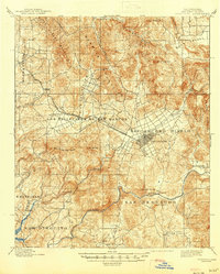
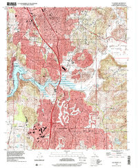
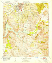
Editions of this 1949 Escondido Map
2 editions found
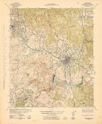
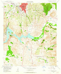
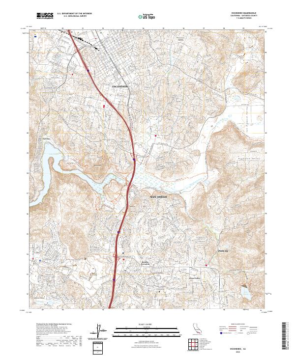
Historical Maps of San Diego Through Time
8 maps found