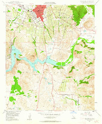
1948 Map of Escondido
USGS Topo · Published 1963About this map
Escondido serves as the focal point of this late 1940s landscape, positioned within the historic Rincon Del Diablo land grant. The city's grid is established north of the A T & S F railroad tracks, featuring essential civic institutions like the Union High Sch and Union Elementary Schools. To the south, the expansive waters of Lake Hodges dominate the terrain, created by the impoundment of the San Dieguito River.
Find a feature on this map
32 named features on this map. Tap any name to fly to it.
Don’t see what you’re looking for? This feature index may not catch every label — zoom into the map to look around manually.
Map Details
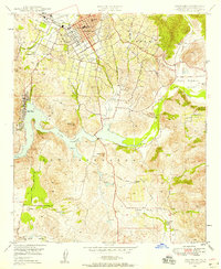
Editions of this 1948 Escondido Map
2 editions found
Other maps of this area

1893 · El Cajon
USGS Topo · 1:62,500

1893 · Escondido
USGS Topo · 1:62,500

1901 · Elcajon
USGS Topo · 1:62,500

1901 · Escondido
USGS Topo · 1:62,500

1901 · San Luis Rey
USGS Topo · 1:125,000

1903 · Cuyamaca
USGS Topo · 1:125,000

1903 · La Jolla
USGS Topo · 1:62,500

1903 · Elcajon
USGS Topo · 1:62,500

1903 · Ramona
USGS Topo · 1:125,000

1904 · Southern California Sheet No. 2
USGS Topo · 1:250,000