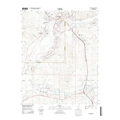
2013 Map of Espanola
USGS Topo · Published 2013About this map
The Rio Grande and the Santa Cruz River converge in this high-desert landscape, creating a fertile valley long defined by its historic settlements and complex irrigation networks. The town of Española serves as a central hub, surrounded by a constellation of communities including Riverside, Santo Nino, and Guachupangue. Further south, the map details the Santa Clara Pueblo and the Santa Clara community, as well as the family-named agriculture sites of the Espanola Valley like Franklin Ranch and Jacona Ranch.
Find a feature on this map
202 named features on this map. Tap any name to fly to it.
Don’t see what you’re looking for? This feature index may not catch every label — zoom into the map to look around manually.
Map Details
Editions of this 2013 Espanola Map
This is the sole edition of this map. No revisions or reprints were ever made.
Other maps of this area

1889 · Santa Fe
USGS Topo · 1:125,000

1892 · Santa Clara
USGS Topo · 1:125,000

1894 · Santa Fe
USGS Topo · 1:125,000

1918 · Abiquiu
USGS Topo · 1:125,000

1952 · White Rock
USGS Topo · 1:24,000

1952 · Puye
USGS Topo · 1:24,000

1953 · Tesuque
USGS Topo · 1:24,000

1953 · Espanola
USGS Topo · 1:24,000

1953 · Chili
USGS Topo · 1:24,000

1953 · San Juan Pueblo
USGS Topo · 1:24,000