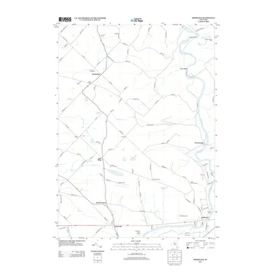
2013 Map of Esperance
USGS Topo · Published 2013About this map
Schoharie Creek carves a deep valley through this landscape, anchoring a network of small agricultural settlements and hamlets. The village of Esperance sits at the southern edge, while the winding course of the creek passes by the George Landis Arboretum and the settlement of Burtonsville. This modern record reveals a persistent rural character, where large landholdings like the Holloway Brothers Farm and Dwyer Farm remain prominent.
Find a feature on this map
106 named features on this map. Tap any name to fly to it.
Don’t see what you’re looking for? This feature index may not catch every label — zoom into the map to look around manually.
Map Details
Editions of this 2013 Esperance Map
This is the sole edition of this map. No revisions or reprints were ever made.
Other maps of this area

1895 · Amsterdam
USGS Topo · 1:62,500

1896 · Fonda
USGS Topo · 1:62,500

1898 · Fonda
USGS Topo · 1:62,500

1898 · Schoharie
USGS Topo · 1:62,500

1900 · Schoharie
USGS Topo · 1:62,500

1900 · Schoharie
USGS Topo · 1:31,680

1900 · Berne
USGS Topo · 1:62,500

1902 · Fonda
USGS Topo · 1:62,500

1903 · Berne
USGS Topo · 1:62,500

1931 · Amsterdam
USGS Topo · 1:62,500