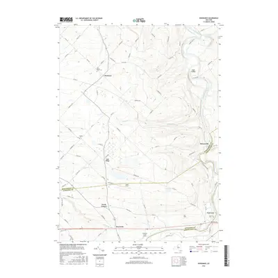
2016 Map of Esperance
USGS Topo · Published 2016About this map
Schoharie Creek carves a winding path through the landscape, defining the character of this region where Montgomery, Schoharie, and Schenectady counties converge. The terrain is marked by a series of small, long-established settlements such as Sloansville, Burtonsville, and Charleston, each connected by a network of county and local roads. High ground at Oak Ridge and the distinct topographical depression of Lost Valley illustrate the varied elevations found away from the creek banks.
Find a feature on this map
84 named features on this map. Tap any name to fly to it.
Don’t see what you’re looking for? This feature index may not catch every label — zoom into the map to look around manually.
Map Details
Editions of this 2016 Esperance Map
This is the sole edition of this map. No revisions or reprints were ever made.
Other maps of this area

1895 · Amsterdam
USGS Topo · 1:62,500

1896 · Fonda
USGS Topo · 1:62,500

1898 · Fonda
USGS Topo · 1:62,500

1898 · Schoharie
USGS Topo · 1:62,500

1900 · Schoharie
USGS Topo · 1:62,500

1900 · Schoharie
USGS Topo · 1:31,680

1900 · Berne
USGS Topo · 1:62,500

1902 · Fonda
USGS Topo · 1:62,500

1903 · Berne
USGS Topo · 1:62,500

1931 · Amsterdam
USGS Topo · 1:62,500