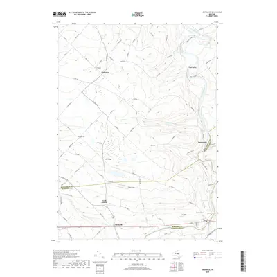
2019 Map of Esperance
USGS Topo · Published 2019About this map
Schoharie Creek winds through the eastern edge of this landscape, defining the borders where Montgomery, Schenectady, and Schoharie Counties meet. The village of Esperance serves as a primary hub in the southeast, situated near the Esperance Cem and the small landing at Gar Field. Moving northwest, the terrain transitions into a patchwork of rural hamlets including Sloansville, Dwelly Corners, and Oak Ridge, connected by a network of local routes like Oak Ridge Rd and Co Rd 162.
Find a feature on this map
88 named features on this map. Tap any name to fly to it.
Don’t see what you’re looking for? This feature index may not catch every label — zoom into the map to look around manually.
Map Details
Editions of this 2019 Esperance Map
This is the sole edition of this map. No revisions or reprints were ever made.
Other maps of this area

1895 · Amsterdam
USGS Topo · 1:62,500

1896 · Fonda
USGS Topo · 1:62,500

1898 · Fonda
USGS Topo · 1:62,500

1898 · Schoharie
USGS Topo · 1:62,500

1900 · Schoharie
USGS Topo · 1:62,500

1900 · Schoharie
USGS Topo · 1:31,680

1900 · Berne
USGS Topo · 1:62,500

1902 · Fonda
USGS Topo · 1:62,500

1903 · Berne
USGS Topo · 1:62,500

1931 · Amsterdam
USGS Topo · 1:62,500