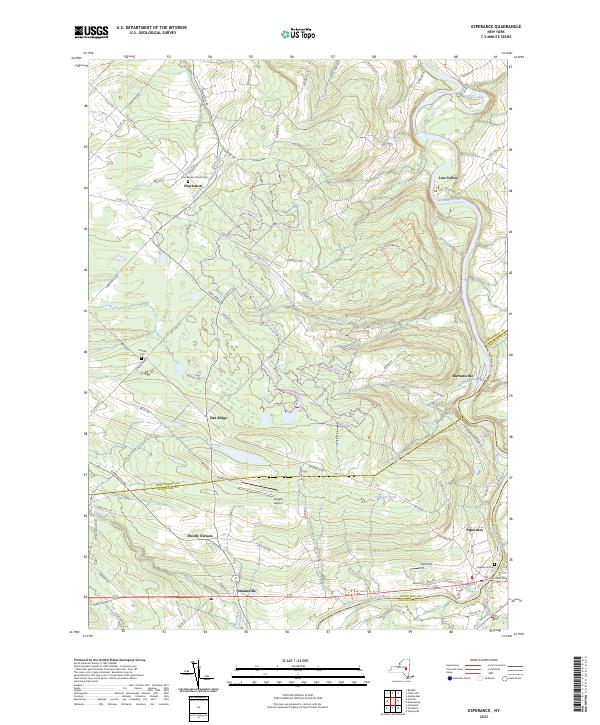
2023 Map of Esperance
USGS Topo · Published 2023About this map
Schoharie Creek winds through the eastern edge of this landscape, defining the topography of a region where Montgomery, Schoharie, and Schenectady counties meet. The settlement of Esperance serves as a southern anchor, while rural hamlets like Burtonsville, Oak Ridge, and Charleston are connected by a network of county roads and local routes. Historical continuity is marked by well-preserved sites such as the First Baptist Church Cem and the Kimball Cem, which provide essential touchstones for genealogical research in this part of New York.
Find a feature on this map
91 named features on this map. Tap any name to fly to it.
Don’t see what you’re looking for? This feature index may not catch every label — zoom into the map to look around manually.
Map Details
Editions of this 2023 Esperance Map
This is the sole edition of this map. No revisions or reprints were ever made.
Other maps of this area

1895 · Amsterdam
USGS Topo · 1:62,500

1896 · Fonda
USGS Topo · 1:62,500

1898 · Fonda
USGS Topo · 1:62,500

1898 · Schoharie
USGS Topo · 1:62,500

1900 · Schoharie
USGS Topo · 1:62,500

1900 · Schoharie
USGS Topo · 1:31,680

1900 · Berne
USGS Topo · 1:62,500

1902 · Fonda
USGS Topo · 1:62,500

1903 · Berne
USGS Topo · 1:62,500

1931 · Amsterdam
USGS Topo · 1:62,500