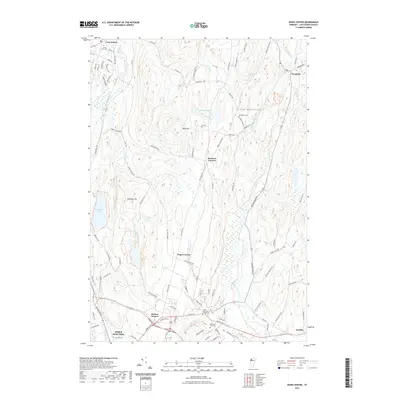
2021 Map of Essex Center
USGS Topo · Published 2021About this map
Essex Junction anchor the southern portion of this landscape where the terrain transitions toward the Green Mountains. The map reveals a network of rural settlements and family-named junctions including Butlers Corners, Pages Corner, and Bowman Corners. The hydrography of the region is well-defined by the winding course of the Browns River in the east and the contained waters of Colchester Pond and Westford Pond. Several local burial grounds, such as Saint Anns Cem and Mountain View Cem, provide points of interest for genealogists tracing local lineage. The road network, including historic routes like Old Stage Rd, reflects the area's development into a residential and transit hub within Chittenden County. Local peaks like Brigham Hill and Bald Hill overlook the valleys shaped by Alder Brook and Rogers Brook.
Find a feature on this map
97 named features on this map. Tap any name to fly to it.
Don’t see what you’re looking for? This feature index may not catch every label — zoom into the map to look around manually.
Map Details
Editions of this 2021 Essex Center Map
This is the sole edition of this map. No revisions or reprints were ever made.
Other maps of this area

1906 · Burlington
USGS Topo · 1:62,500

1913 · Milton
USGS Topo · 1:48,000

1915 · Milton
USGS Topo · 1:62,500

1919 · Burlington
USGS Topo · 1:62,500

1921 · Richmond
USGS Topo · 1:48,000

1924 · Camels Hump
USGS Topo · 1:62,500

1925 · Mount Mansfield
USGS Topo · 1:48,000

1927 · Mount Mansfield
USGS Topo · 1:62,500

1944 · Milton
USGS Topo · 1:62,500

1944 · Mount Mansfield
USGS Topo · 1:62,500