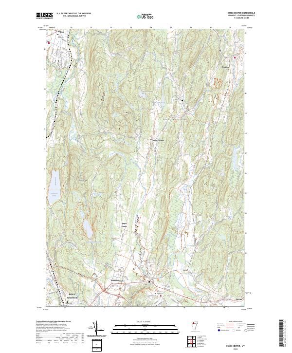
2024 Map of Essex Center
USGS Topo · Published 2024About this map
Indian Brook Reservoir and the Colchester Pond basin anchor the western landscape of this Vermont terrain, where the foothills of the Green Mountains begin to rise. The area is defined by a network of historic crossroads, including Pages Corner, Butlers Corners, and Bowman Corners, which served as local focal points for the surrounding rural homesteads. In the south, Essex Junction shows a more concentrated development pattern near the Essex Way rail line, contrasted by the quiet reaches of Westford and Jericho further east.
Find a feature on this map
102 named features on this map. Tap any name to fly to it.
Don’t see what you’re looking for? This feature index may not catch every label — zoom into the map to look around manually.
Map Details
Editions of this 2024 Essex Center Map
This is the sole edition of this map. No revisions or reprints were ever made.
Other maps of this area

1906 · Burlington
USGS Topo · 1:62,500

1913 · Milton
USGS Topo · 1:48,000

1915 · Milton
USGS Topo · 1:62,500

1919 · Burlington
USGS Topo · 1:62,500

1921 · Richmond
USGS Topo · 1:48,000

1924 · Camels Hump
USGS Topo · 1:62,500

1925 · Mount Mansfield
USGS Topo · 1:48,000

1927 · Mount Mansfield
USGS Topo · 1:62,500

1944 · Milton
USGS Topo · 1:62,500

1944 · Mount Mansfield
USGS Topo · 1:62,500