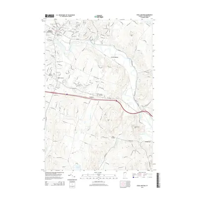
2015 Map of Essex Junction
USGS Topo · Published 2015About this map
The Winooski River carves a winding path through this portion of Chittenden County, serving as a primary geographic anchor for the surrounding settlements. In the northwest, Essex Junction stands as a significant population center, featuring the New England Culinary Institute at Essex and historic burial grounds like Village Cem and Holy Family Cem. The landscape transitions from these developed hubs into the rolling terrain of the Green Mountains foothills, where smaller crossroads such as Kirby Corner and Tafts Corner define the local geography.
Find a feature on this map
30 named features on this map. Tap any name to fly to it.
Don’t see what you’re looking for? This feature index may not catch every label — zoom into the map to look around manually.
Map Details
Editions of this 2015 Essex Junction Map
This is the sole edition of this map. No revisions or reprints were ever made.
Other maps of this area

1906 · Burlington
USGS Topo · 1:62,500

1913 · Milton
USGS Topo · 1:48,000

1915 · Milton
USGS Topo · 1:62,500

1919 · Burlington
USGS Topo · 1:62,500

1921 · Richmond
USGS Topo · 1:48,000

1924 · Camels Hump
USGS Topo · 1:62,500

1925 · Mount Mansfield
USGS Topo · 1:48,000

1927 · Mount Mansfield
USGS Topo · 1:62,500

1944 · Milton
USGS Topo · 1:62,500

1944 · Mount Mansfield
USGS Topo · 1:62,500