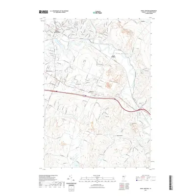
2024 Map of Essex Junction
USGS Topo · Published 2024About this map
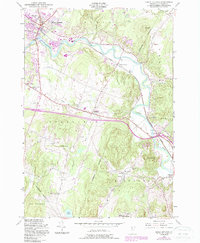
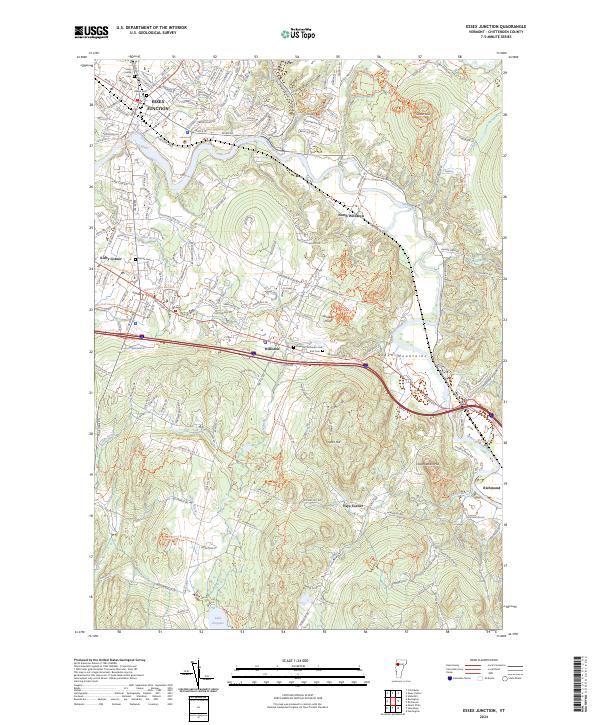
The Winooski River carves a deep path through this Chittenden County landscape, separating the dense street grids of Essex Junction from the rolling terrain of the Green Mountains foothills. The area is defined by its transition from industrial and suburban development near IBM Rd and Kirby Corner to the agricultural and recreational spaces of North Williston and Lake Iroquois. Local history is anchored by several burial grounds, including the Thomas Chittenden Cem and Holy Family Cem, which sit alongside a growing network of modern trails like the Williston Village Bike Path Trl. From the heights of Saxon Hill to the valley floors of Allen Brook, the map illustrates how transportation corridors such as Williston Rd continue to shape the expansion of Williston and Richmond.
Find a feature on this map
52 named features on this map. Tap any name to fly to it.
Don’t see what you’re looking for? This feature index may not catch every label — zoom into the map to look around manually.
Map Details
Editions of this 2024 Essex Junction Map
This is the sole edition of this map. No revisions or reprints were ever made.
Historical Maps of Essex Through Time
6 maps found