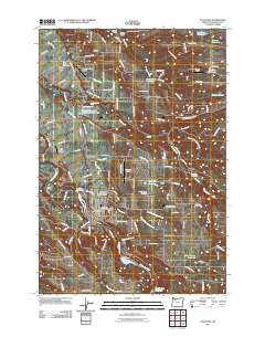
2011 Map of Estacada
USGS Topo · Published 2011About this map
Estacada sits at the heart of this Clackamas County survey, where the Clackamas River supports a landscape defined by water management and aviation. The river's industrial character is marked by the River Mill Powerhouse and Cazadero Powerhouse, while several reservoirs including the Slow Springs Reservoir and Deep Creek Reservoir indicate the region's controlled hydrology. This period shows a high concentration of private aviation, with the Country Squire Airpark, Eagle Nest Ranch Airstrip, and Shady Oaks Airstrip scattered around the timbered outskirts. Genealogy researchers can locate several burial grounds, such as the Independent Order of Odd Fellows Cemetery near the town center and the Sandy Ridge Cemetery to the north. Smaller communities like Eagle Creek, Currinsville, and Springwater connect via a dense network of rural roads, including SE Wildcat Mountain Dr and SE Eagle Fern Rd.
Find a feature on this map
129 named features on this map. Tap any name to fly to it.
Don’t see what you’re looking for? This feature index may not catch every label — zoom into the map to look around manually.
Map Details
Editions of this 2011 Estacada Map
This is the sole edition of this map. No revisions or reprints were ever made.
Other maps of this area
1911 · Boring
USGS Topo · 1:48,000
1914 · Boring
USGS Topo · 1:62,500
1916 · Estacada
USGS Topo · 1:125,000
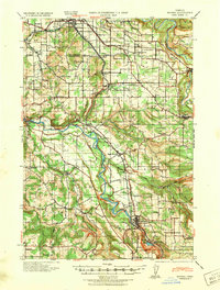
1940 · Boring
USGS Topo · 1:62,500

1948 · Vancouver
USGS Topo · 1:250,000
1950 · Vancouver
USGS Topo · 1:250,000
1950 · Vancouver
USGS Topo · 1:250,000
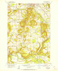
1954 · Damascus
USGS Topo · 1:24,000
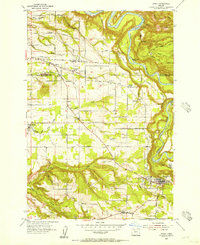
1954 · Sandy
USGS Topo · 1:24,000
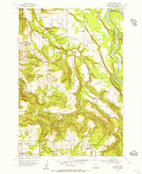
1954 · Redland
USGS Topo · 1:24,000