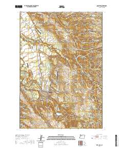
2020 Map of Estacada
USGS Topo · Published 2020About this map
The Clackamas River defines the southern reach of this landscape, flowing past Estacada and the waters of Faraday Lake. This 2020 record of Clackamas County reveals a region shaped by its proximity to the river and the convergence of several small airports, including Valley View Airport and Beaver Oaks Airport. The township of Estacada serves as a central hub, surrounded by smaller settlements like Currinsville and Tracy.
Find a feature on this map
158 named features on this map. Tap any name to fly to it.
Don’t see what you’re looking for? This feature index may not catch every label — zoom into the map to look around manually.
Map Details
Editions of this 2020 Estacada Map
This is the sole edition of this map. No revisions or reprints were ever made.
Other maps of this area

1911 · Boring
USGS Topo · 1:48,000

1914 · Boring
USGS Topo · 1:62,500

1916 · Estacada
USGS Topo · 1:125,000

1940 · Boring
USGS Topo · 1:62,500

1948 · Vancouver
USGS Topo · 1:250,000

1950 · Vancouver
USGS Topo · 1:250,000

1950 · Vancouver
USGS Topo · 1:250,000
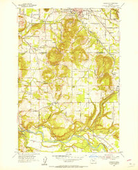
1954 · Damascus
USGS Topo · 1:24,000
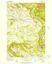
1954 · Sandy
USGS Topo · 1:24,000
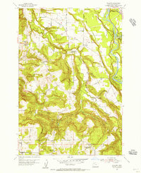
1954 · Redland
USGS Topo · 1:24,000