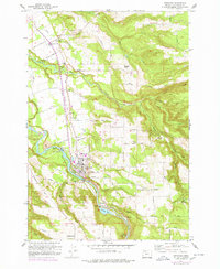
1960 Map of Estacada
USGS Topo · Published 1960About this map
The Clackamas River serves as the industrial and topographic spine of this region during the 1960s, anchoring the community of Estacada. The landscape is defined by early hydroelectric development, including the River Mill Powerhouse, Cazadero Powerhouse, and Cazadero Dam, which created Faraday Lake. These facilities represent the era's reliance on river power for local infrastructure. North of the river, an Abandoned Railroad traces a path toward Eagle Creek, marking the transition from rail-dependent industry to a more road-focused network of local routes like Firwood Road and Duus Road.
Find a feature on this map
64 named features on this map. Tap any name to fly to it.
Don’t see what you’re looking for? This feature index may not catch every label — zoom into the map to look around manually.
Map Details
Editions of this 1960 Estacada Map
This is the sole edition of this map. No revisions or reprints were ever made.
Other maps of this area

1911 · Boring
USGS Topo · 1:48,000

1914 · Boring
USGS Topo · 1:62,500

1916 · Estacada
USGS Topo · 1:125,000

1940 · Boring
USGS Topo · 1:62,500

1948 · Vancouver
USGS Topo · 1:250,000

1950 · Vancouver
USGS Topo · 1:250,000

1950 · Vancouver
USGS Topo · 1:250,000
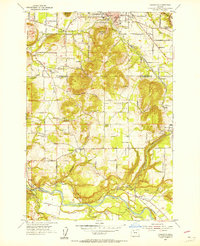
1954 · Damascus
USGS Topo · 1:24,000
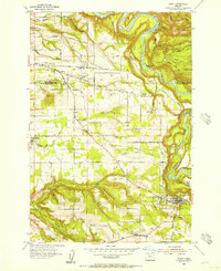
1954 · Sandy
USGS Topo · 1:24,000
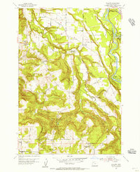
1954 · Redland
USGS Topo · 1:24,000