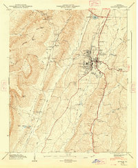
1947 Map of Estelle
USGS Topo · Published 1948About this map
La Fayette serves as the primary municipal center in this late 1940s survey of Walker County, showcasing a landscape defined by sharp topographical transitions between Pigeon Mountain and the agricultural valleys to the east. The town's industrial and social infrastructure is well-documented, featuring a Pumping Station, Sewage Disposal Plant, and a local Golf Course. Moving south from the city, the map traces the William Howard Taft Highway through rural terrain marked by localized landmarks like the County Farm and Blaylock Mill along the Chattooga River. Numerous family-named sites, including the Shaw Cem and Caldwell Cem, reflect the area's deep-rooted settlement history. Connectivity is provided by the Central of Georgia railroad and the Tennessee Alabama and Georgia line, which navigate the gaps and ridges such as Dug Gap and Bluebird Gap.
Find a feature on this map
62 named features on this map. Tap any name to fly to it.
Don’t see what you’re looking for? This feature index may not catch every label — zoom into the map to look around manually.
Map Details
Editions of this 1947 Estelle Map
2 editions found
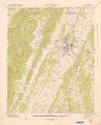
Other maps of this area

1886 · Ringgold
USGS Topo · 1:125,000

1892 · Ringgold
USGS Topo · 1:125,000

1935 · Catlett
USGS Topo · 1:24,000

1935 · Durham
USGS Topo · 1:24,000

1935 · Nickajack Gap
USGS Topo · 1:24,000

1936 · Kensington
USGS Topo · 1:24,000

1936 · Estelle
USGS Topo · 1:24,000
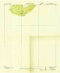
1936 · Dougherty Gap
USGS Topo · 1:24,000
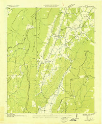
1936 · Cedar Grove
USGS Topo · 1:24,000

1946 · Kensington
USGS Topo · 1:24,000