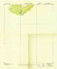
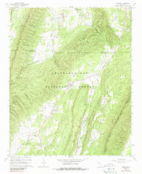
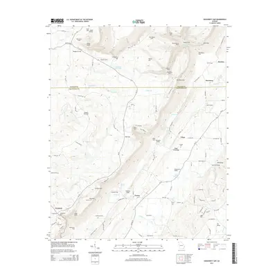
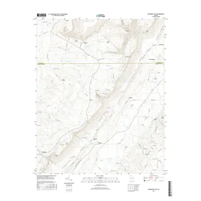
1936 Map of Dougherty Gap
USGS Topo · Published 1936About this map
Lookout Mountain and Pigeon Mountain converge in this high upland area of Walker County, Georgia, where the land falls away into the distinctive saddle of Dougherty Gap. Compiled from aerial photographs in the mid-1930s by the Tennessee Valley Authority, this advance sheet focuses on the terrain and local drainage systems like Hog Jowl Creek. A significant marker of the era's conservation and labor history is the noted CCC Camp (Abandoned), which appears alongside a local High Sch. The sparse settlement pattern reflects the area's elevation and physical geography, serving as a rare look at the specific footprints of Depression-era work relief projects in the north Georgia mountains before later development or forest regrowth altered the site of the camp.
Find a feature on this map
6 named features on this map. Tap any name to fly to it.
Don’t see what you’re looking for? This feature index may not catch every label — zoom into the map to look around manually.
Map Details
Editions of this 1936 Dougherty Gap Map
This is the sole edition of this map. No revisions or reprints were ever made.
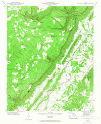
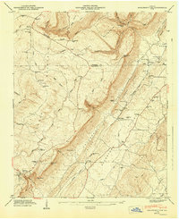
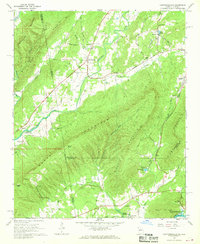
Historical Maps of Teloga Through Time
21 maps found
1936 Dougherty Gap
Chattooga County, GA
1946 Dougherty Gap
Chattooga County, GA
1947 Dougherty Gap
Chattooga County, GA
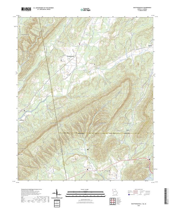
1967 Chattoogaville
Chattooga County, GA
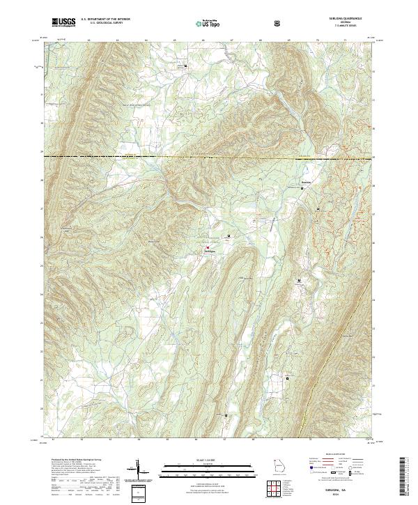
1967 Subligna
Chattooga County, GA
1983 Dougherty Gap
Chattooga County, GA
2011 Chattoogaville
Chattooga County, GA
2011 Dougherty Gap
Chattooga County, GA
2011 Subligna
Chattooga County, GA

2014 Chattoogaville
Chattooga County, GA
2014 Dougherty Gap
Chattooga County, GA
2014 Subligna
Chattooga County, GA
2017 Chattoogaville
Chattooga County, GA
2017 Dougherty Gap
Chattooga County, GA
2017 Subligna
Chattooga County, GA

2020 Chattoogaville
Chattooga County, GA
2020 Dougherty Gap
Chattooga County, GA
2020 Subligna
Chattooga County, GA
2024 Chattoogaville
Chattooga County, GA
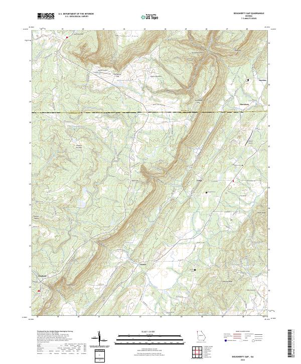
2024 Dougherty Gap
Chattooga County, GA
2024 Subligna
Chattooga County, GA