
1970 Map of Estelline NE
USGS Topo · Published 1972About this map
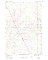
Havana, Hidewood, and Brandt define the rural character of Deuel County as it appeared in the early 1970s. This agricultural landscape is drained by Hidewood Creek and punctuated by local community landmarks, including the Townhall and the Oakwood Sch near the northern boundary. The terrain is marked by fine red dashed lines indicating fence and field lines that were visible from 1966 aerial photography, offering a detailed perspective on 20th-century land use and property divisions.
Find a feature on this map
15 named features on this map. Tap any name to fly to it.
Don’t see what you’re looking for? This feature index may not catch every label — zoom into the map to look around manually.
Map Details
Editions of this 1970 Estelline NE Map
2 editions found
Other maps of this area

1953 · Watertown
USGS Topo · 1:250,000

1958 · Watertown
USGS Topo · 1:250,000

1969 · Dempster
USGS Topo · 1:24,000

1970 · Kranzburg SW
USGS Topo · 1:24,000

1970 · Bemis
USGS Topo · 1:24,000

1970 · Clear Lake South
USGS Topo · 1:24,000

1970 · Estelline SE
USGS Topo · 1:24,000

1970 · Estelline
USGS Topo · 1:24,000

1970 · Toronto
USGS Topo · 1:24,000
1973 · Clear Lake North
USGS Topo · 1:24,000