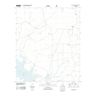
2010 Map of Etoile North
USGS Topo · Published 2010About this map
Oil Springs and the surrounding piney woods of East Texas appear here as they were in the first decade of the 21st century. The landscape is defined by the northern reaches of the Sam Rayburn Reservoir, where the Angelina River feeds into the basin near Big Island. This area in Nacogdoches County reflects a mix of timber history and modern recreation, with the Etoile Park Campground situated near the settlement of Etoile.
Find a feature on this map
40 named features on this map. Tap any name to fly to it.
Don’t see what you’re looking for? This feature index may not catch every label — zoom into the map to look around manually.
Map Details
Editions of this 2010 Etoile North Map
This is the sole edition of this map. No revisions or reprints were ever made.
Other maps of this area

1949 · Lufkin
USGS Topo · 1:62,500

1949 · Platt
USGS Topo · 1:24,000

1949 · Huntington
USGS Topo · 1:24,000

1950 · Platt
USGS Topo · 1:24,000

1950 · Huntington
USGS Topo · 1:24,000

1952 · Nacogdoches
USGS Topo · 1:62,500

1953 · Palestine
USGS Topo · 1:250,000

1957 · Palestine
USGS Topo · 1:250,000

1958 · Broaddus
USGS Topo · 1:62,500

1958 · Martinsville
USGS Topo · 1:62,500