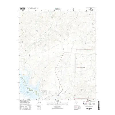
2016 Map of Etoile North
USGS Topo · Published 2016About this map
The Sam Rayburn Reservoir defines the southwestern reaches of this East Texas landscape, where the waters meet the edge of the Angelina National Forest. This 2016 survey shows the community of Etoile situated near the reservoir's fingers, with residential developments like Lakeshore Dr and Blue Ridge Dr tracing the shoreline. The terrain is a network of small drainages, including Oil Springs Br, Moss Cr, and Lavaca Cr, which feed into the larger basin. Away from the water, the map documents rural landmarks essential for local history and genealogy, such as Pine Knot Cem and Miley Cem. The transition from the managed timberlands of the national forest to the riparian environments of Marion Slough and Walker Slough illustrates the varied ecology of Nacogdoches and Angelina counties.
Find a feature on this map
45 named features on this map. Tap any name to fly to it.
Don’t see what you’re looking for? This feature index may not catch every label — zoom into the map to look around manually.
Map Details
Editions of this 2016 Etoile North Map
This is the sole edition of this map. No revisions or reprints were ever made.
Other maps of this area

1949 · Lufkin
USGS Topo · 1:62,500

1949 · Platt
USGS Topo · 1:24,000

1949 · Huntington
USGS Topo · 1:24,000

1950 · Platt
USGS Topo · 1:24,000

1950 · Huntington
USGS Topo · 1:24,000

1952 · Nacogdoches
USGS Topo · 1:62,500

1953 · Palestine
USGS Topo · 1:250,000

1957 · Palestine
USGS Topo · 1:250,000

1958 · Broaddus
USGS Topo · 1:62,500

1958 · Martinsville
USGS Topo · 1:62,500