Loading...
Loading map...2022 Map of Eubank
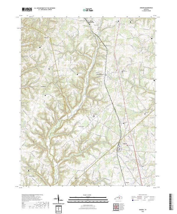
USGS Topo · Published 2022About this map
Kings Mountain and Waynesburg anchor this rural landscape where the boundaries of Lincoln, Casey, and Pulaski counties converge. The terrain is defined by a dense network of ridges and hollows, such as Ellison Ridge and Buffalo Hollow, which dictate the winding paths of rural routes like State Hwy 501 and Robertstown Rd. Central to the area is Fishing Creek, which feeds into the Fishing Creek Pond near the northern border.
Find a feature on this map
134 named features on this map. Tap any name to fly to it.
Don’t see what you’re looking for? This feature index may not catch every label — zoom into the map to look around manually.
Map Details
Date Portrayed2022
Date Published2022
PublisherU.S. Geological Survey
Map TypeTopographic
Scale1:24000
Physical Dimensions24 x 29 inches
Editions of this 2022 Eubank Map
This is the sole edition of this map. No revisions or reprints were ever made.
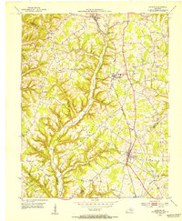
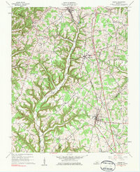
Historical Maps of Duncan Through Time
Featured Locations
Source Details
SourceU.S. Geological Survey
CopyrightPublic Domain