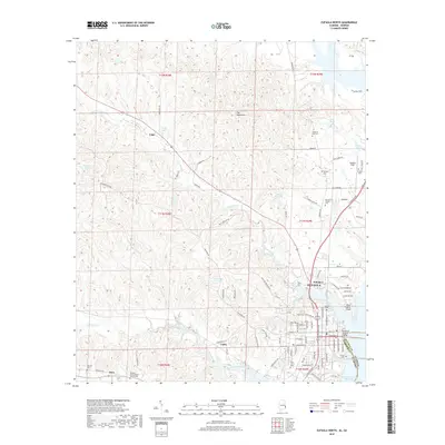
2018 Map of Eufaula North
USGS Topo · Published 2018About this map
The city of Eufaula sits prominently on the western banks of the Walter F George Reservoir along the Alabama-Georgia state line. This modern landscape is defined by the broad waters of the Chattahoochee River system, where the Richard B Russell Bridge connects the two states. The interior is a complex network of waterways like Chewalla Creek and Barbour Creek, interspersed with smaller ponds such as Lugo Pond and Dozier's Pond. Genealogy and local history are well-represented by numerous burial grounds, including the large Fairview Cem and Haven of Rest Cem. North and west of the city center, rural life continues around the aviation hub at Weedon Field and smaller communities like Lugo, Tullis, and Osco. The mapping detail captures the residential expansion of neighborhoods like Deerfield and the wooded heights of The Mountains.
Find a feature on this map
97 named features on this map. Tap any name to fly to it.
Don’t see what you’re looking for? This feature index may not catch every label — zoom into the map to look around manually.
Map Details
Editions of this 2018 Eufaula North Map
This is the sole edition of this map. No revisions or reprints were ever made.
Other maps of this area

1953 · Dothan
USGS Topo · 1:250,000

1954 · Dothan
USGS Topo · 1:250,000

1955 · Dothan
USGS Topo · 1:250,000

1955 · Phenix City
USGS Topo · 1:250,000

1957 · Phenix City
USGS Topo · 1:250,000

1958 · Phenix City
USGS Topo · 1:250,000

1967 · Hatcher
USGS Topo · 1:24,000

1967 · Georgetown
USGS Topo · 1:24,000

1968 · Eufaula North
USGS Topo · 1:24,000

1968 · Baker Hill
USGS Topo · 1:24,000