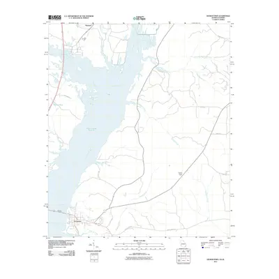
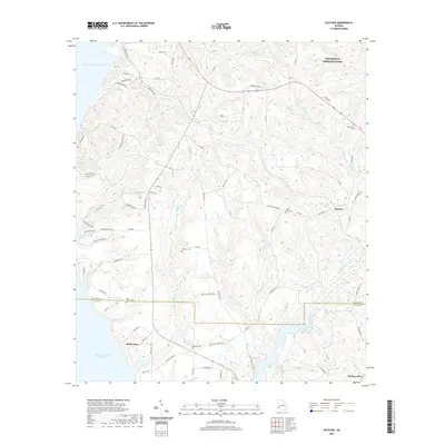
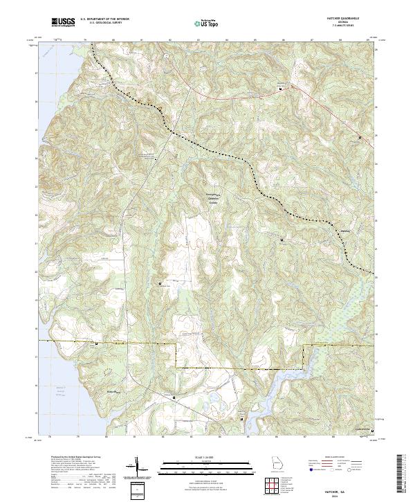
1967 Map of Hatcher
USGS Topo · Published 1970About this map
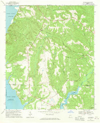
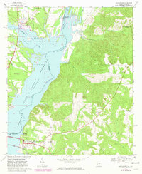
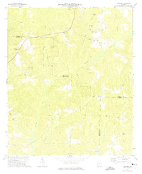
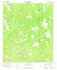
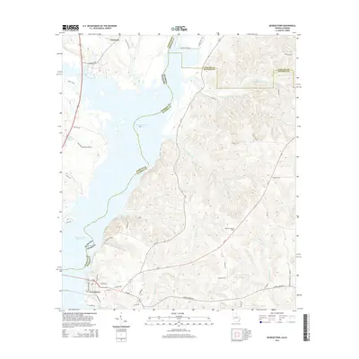
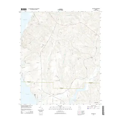
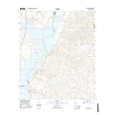
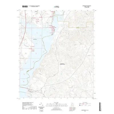
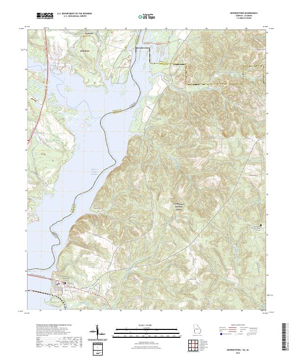
Walter F George Reservoir dominates the western edge of this landscape, its shoreline following the curves of the Chattahoochee River along the Quitman Co and Clay Co border. Inland, the terrain is defined by a dense network of tributaries including Nasty Creek, Drag Creek, and Wildcat Creek which feed into the primary reservoir and the Pataula Creek system. This 1960s survey documents a rural Georgia community structured around decentralized settlements like Georgetown and Hatcher, with the Central of Georgia railroad line providing a primary transportation corridor through the center of the quadrangle.
Find a feature on this map
32 named features on this map. Tap any name to fly to it.
Don’t see what you’re looking for? This feature index may not catch every label — zoom into the map to look around manually.
Map Details
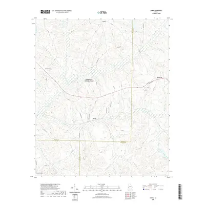
Editions of this 1967 Hatcher Map
This is the sole edition of this map. No revisions or reprints were ever made.
Historical Maps of Georgetown Through Time
24 maps found
1967 Georgetown
Quitman County, GA
1967 Hatcher
Quitman County, GA
1972 Sanford
Quitman County, GA
1973 Morris
Quitman County, GA
2011 Georgetown
Quitman County, GA
2011 Hatcher
Quitman County, GA
2011 Morris
Quitman County, GA
2011 Sanford
Quitman County, GA
2014 Georgetown
Quitman County, GA
2014 Hatcher
Quitman County, GA
2014 Morris
Quitman County, GA
2014 Sanford
Quitman County, GA
2017 Georgetown
Quitman County, GA

2017 Hatcher
Quitman County, GA
2017 Morris
Quitman County, GA
2017 Sanford
Quitman County, GA
2020 Georgetown
Quitman County, GA
2020 Hatcher
Quitman County, GA
2020 Morris
Quitman County, GA
2020 Sanford
Quitman County, GA
2024 Georgetown
Quitman County, GA
2024 Hatcher
Quitman County, GA
2024 Morris
Quitman County, GA
2024 Sanford
Quitman County, GA