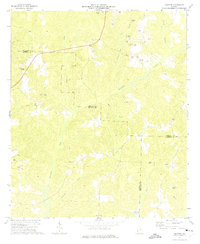
1972 Map of Sanford
USGS Topo · Published 1974About this map
Sanford serves as a small focal point in this 1972 survey, which covers the rural intersection of Stewart, Quitman, and Randolph counties. The landscape is defined by its industrial activity, marked by numerous Strip Mines and several Tailings Ponds that indicate a significant mining economy during the early 1970s. These operations are concentrated primarily along Foreman Mill Branch and north of the county lines, contrasting with the traditional rural network of country houses and small congregations.
Find a feature on this map
29 named features on this map. Tap any name to fly to it.
Don’t see what you’re looking for? This feature index may not catch every label — zoom into the map to look around manually.
Map Details
Editions of this 1972 Sanford Map
This is the sole edition of this map. No revisions or reprints were ever made.
Other maps of this area

1950 · Lumpkin
USGS Topo · 1:24,000

1950 · Lumpkin SW
USGS Topo · 1:24,000

1950 · Lumpkin
USGS Topo · 1:62,500

1953 · Dothan
USGS Topo · 1:250,000

1954 · Dothan
USGS Topo · 1:250,000

1955 · Dothan
USGS Topo · 1:250,000

1955 · Lumpkin
USGS Topo · 1:24,000

1955 · Lumpkin SW
USGS Topo · 1:24,000

1955 · Lumpkin
USGS Topo · 1:62,500

1955 · Phenix City
USGS Topo · 1:250,000