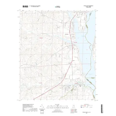
2018 Map of Eufaula South
USGS Topo · Published 2018About this map
Eufaula serves as the focal point for this survey of the Alabama-Georgia borderlands along the Chattahoochee River. The landscape is defined by the expansive Walter F George Reservoir, which forms the state boundary and is fed by several winding tributaries. Moving inland, the map captures the transition from lakeside residential developments like those along State Docks Rd to the more dispersed rural settlements of Terese and White Oak.
Find a feature on this map
92 named features on this map. Tap any name to fly to it.
Don’t see what you’re looking for? This feature index may not catch every label — zoom into the map to look around manually.
Map Details
Editions of this 2018 Eufaula South Map
This is the sole edition of this map. No revisions or reprints were ever made.
Other maps of this area

1953 · Dothan
USGS Topo · 1:250,000

1954 · Dothan
USGS Topo · 1:250,000

1955 · Dothan
USGS Topo · 1:250,000

1967 · Hatcher
USGS Topo · 1:24,000

1967 · Georgetown
USGS Topo · 1:24,000

1968 · Eufaula North
USGS Topo · 1:24,000

1968 · Baker Hill
USGS Topo · 1:24,000

1968 · White Oak
USGS Topo · 1:24,000

1968 · Eufaula South
USGS Topo · 1:24,000

1969 · Fort Gaines NW
USGS Topo · 1:24,000