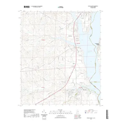
2020 Map of Eufaula South
USGS Topo · Published 2020About this map
Walter F George Reservoir dominates the eastern boundary of this Barbour County landscape, where the waters of the Chattahoochee River meet the Alabama-Georgia state line. The southern reaches of Eufaula extend into this area, giving way to a network of creeks and branches that drain the undulating terrain. Key waterways like Cheneyhatchee Creek and White Oak Creek carve through the land, defining the local topography and historical drainage patterns.
Find a feature on this map
98 named features on this map. Tap any name to fly to it.
Don’t see what you’re looking for? This feature index may not catch every label — zoom into the map to look around manually.
Map Details
Editions of this 2020 Eufaula South Map
This is the sole edition of this map. No revisions or reprints were ever made.
Other maps of this area

1953 · Dothan
USGS Topo · 1:250,000

1954 · Dothan
USGS Topo · 1:250,000

1955 · Dothan
USGS Topo · 1:250,000
1967 · Hatcher
USGS Topo · 1:24,000
1967 · Georgetown
USGS Topo · 1:24,000
1968 · Eufaula North
USGS Topo · 1:24,000
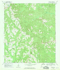
1968 · Baker Hill
USGS Topo · 1:24,000
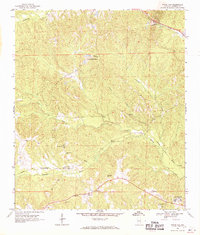
1968 · White Oak
USGS Topo · 1:24,000
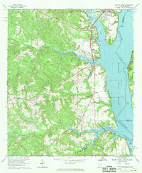
1968 · Eufaula South
USGS Topo · 1:24,000
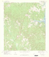
1969 · Fort Gaines NW
USGS Topo · 1:24,000