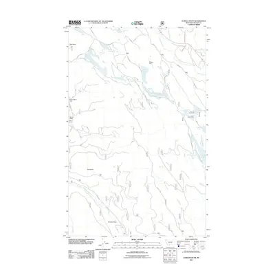
2011 Map of Eureka South
USGS Topo · Published 2011About this map
The Tobacco River and its associated tributaries dominate this Lincoln County landscape, defining the hydrology of the Tobacco Valley south of the Canadian border. The map documents a complex system of glacial kettle lakes and drainages, including Othorp Lake, Thirsty Lake, and Alkali Lake, which sit between prominent rises like Black Butte and Eureka Hill. These water bodies and the surrounding timberland have long supported both recreational and industrial uses, evidenced by the Rock Lake Campground and the Luman H Bradburn Mine.
Find a feature on this map
34 named features on this map. Tap any name to fly to it.
Don’t see what you’re looking for? This feature index may not catch every label — zoom into the map to look around manually.
Map Details
Editions of this 2011 Eureka South Map
This is the sole edition of this map. No revisions or reprints were ever made.
Other maps of this area

1913 · Stryker
USGS Topo · 1:125,000

1916 · Stryker
USGS Topo · 1:125,000

1957 · Kalispell
USGS Topo · 1:250,000

1960 · Kalispell
USGS Topo · 1:250,000

1961 · Kalispell
USGS Topo · 1:250,000

1963 · Rexford
USGS Topo · 1:24,000

1963 · Eureka North
USGS Topo · 1:24,000

1963 · Mc Guire Mountain
USGS Topo · 1:24,000

1963 · Ksanka Peak
USGS Topo · 1:24,000

1963 · Eureka South
USGS Topo · 1:24,000