
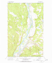
1963 Map of Rexford
USGS Topo · Published 1966About this map
The Kootenai River carves a deep valley through this Montana landscape just south of the international border with Canada, before the construction of the Libby Dam altered the river's path. The small settlement of Rexford sits at a critical junction where the Tobacco River meets the main channel, serving as a focal point for local transportation and geography. The topography is defined by the broad Tobacco Plains to the east and the heavily forested slopes of the Kootenai National Forest to the west.
Find a feature on this map
36 named features on this map. Tap any name to fly to it.
Don’t see what you’re looking for? This feature index may not catch every label — zoom into the map to look around manually.
Map Details
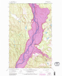
Editions of this 1963 Rexford Map
3 editions found
Other maps of this area

1957 · Kalispell
USGS Topo · 1:250,000

1960 · Kalispell
USGS Topo · 1:250,000

1961 · Kalispell
USGS Topo · 1:250,000

1963 · Eureka North
USGS Topo · 1:24,000

1963 · Eureka South
USGS Topo · 1:24,000

1963 · Red Mountain
USGS Topo · 1:24,000

1963 · Webb Mountain
USGS Topo · 1:24,000
1963 · Beartrap Mountain
USGS Topo · 1:24,000

1979 · Yaak River
USGS Topo · 1:100,000
1983 · Rexford
USGS Topo · 1:24,000