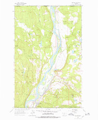
1963 Map of Rexford
USGS Topo · Published 1976About this map
The Kootenai River snakes through the center of this Lincoln County landscape just south of the international border. The town of Rexford sits near the river's bend, positioned below the Great Northern rail line and an Old Railroad Grade. This mid-century survey captures the river valley before the construction of the Libby Dam, showing a network of islands and flats such as Kins Island, Whites Island, and the Kootenai Flats that would later be altered by the formation of Lake Koocanusa.
Find a feature on this map
38 named features on this map. Tap any name to fly to it.
Don’t see what you’re looking for? This feature index may not catch every label — zoom into the map to look around manually.
Map Details
Editions of this 1963 Rexford Map
3 editions found
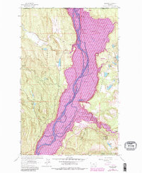
Other maps of this area

1957 · Kalispell
USGS Topo · 1:250,000

1960 · Kalispell
USGS Topo · 1:250,000

1961 · Kalispell
USGS Topo · 1:250,000

1963 · Rexford
USGS Topo · 1:24,000

1963 · Eureka North
USGS Topo · 1:24,000

1963 · Eureka South
USGS Topo · 1:24,000

1963 · Red Mountain
USGS Topo · 1:24,000

1963 · Webb Mountain
USGS Topo · 1:24,000
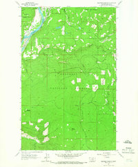
1963 · Beartrap Mountain
USGS Topo · 1:24,000

1979 · Yaak River
USGS Topo · 1:100,000