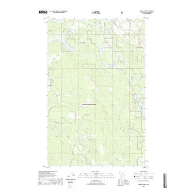
2020 Map of Eureka South
USGS Topo · Published 2020About this map
Eureka sits at the northern edge of this Montana landscape, where the Tobacco River flows through a valley defined by prominent elevations like Eureka Hill and Black Butte. This region, largely contained within the Kootenai National Forest, displays a complex network of forest development roads that provide access to high-altitude features like the Virginia Hill Ski Area. The terrain is marked by numerous small glacial lakes and depressions, ranging from the seasonally named Thirsty Lake and Alkali Lake to the more permanent waters of Green Lake and Baker Lake. South of the river, the map reveals a history of land use and navigation through labeled drainages such as Workman Draw and Johnson Draw. The inclusion of named trails and local identifiers like Lydia Pinkham suggests a long-standing human presence and specific local nomenclature within the forest's rugged interior.
Find a feature on this map
49 named features on this map. Tap any name to fly to it.
Don’t see what you’re looking for? This feature index may not catch every label — zoom into the map to look around manually.
Map Details
Editions of this 2020 Eureka South Map
This is the sole edition of this map. No revisions or reprints were ever made.
Other maps of this area

1913 · Stryker
USGS Topo · 1:125,000

1916 · Stryker
USGS Topo · 1:125,000

1957 · Kalispell
USGS Topo · 1:250,000

1960 · Kalispell
USGS Topo · 1:250,000

1961 · Kalispell
USGS Topo · 1:250,000

1963 · Rexford
USGS Topo · 1:24,000

1963 · Eureka North
USGS Topo · 1:24,000

1963 · Mc Guire Mountain
USGS Topo · 1:24,000

1963 · Ksanka Peak
USGS Topo · 1:24,000

1963 · Eureka South
USGS Topo · 1:24,000