
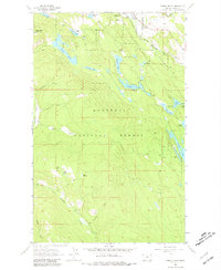
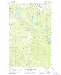
1963 Map of Eureka South
USGS Topo · Published 1966About this map
Eureka sits at the northern edge of this Montana landscape, where the Eureka Corporate Boundary transitions into the dense woodlands of the Kootenai National Forest. The local economy and movement of the early 1960s are defined by the Great Northern railroad line following the path of the Tobacco River. High-ground vantage points like Black Butte, featuring a Lookout Tower, and Virginia Hill dominate the western terrain, overseeing a network of drainage features such as Slick Gulch and Johnson Draw.
Find a feature on this map
30 named features on this map. Tap any name to fly to it.
Don’t see what you’re looking for? This feature index may not catch every label — zoom into the map to look around manually.
Map Details
Editions of this 1963 Eureka South Map
3 editions found
Other maps of this area

1913 · Stryker
USGS Topo · 1:125,000

1916 · Stryker
USGS Topo · 1:125,000

1957 · Kalispell
USGS Topo · 1:250,000

1960 · Kalispell
USGS Topo · 1:250,000

1961 · Kalispell
USGS Topo · 1:250,000

1963 · Rexford
USGS Topo · 1:24,000

1963 · Eureka North
USGS Topo · 1:24,000

1963 · Mc Guire Mountain
USGS Topo · 1:24,000

1963 · Ksanka Peak
USGS Topo · 1:24,000
1963 · Pinkham Mountain
USGS Topo · 1:24,000